In 1870-72, John Marius Wilson's Imperial Gazetteer of England and Wales described St Blazey like this:
Hide further information...BLAZEY (St.), a small town and a parish in St. Austell district, Cornwall. The town stands under an amphitheatre of wooded heights, 1 mile NNW of Par r. station, and 4 ENE of St. Austell. It took its name from Blaise, Bishop of Sebaste, in Armenia, who is said to have landed at Par in the third century, and to have suffered martyrdom in 316. It has a post office‡ under Par station, and an inn; and is a centre of traffic for the neighbouring mines; and fairs are held at it on 2 Feb. and 4 July. ...
http://www.visionofbritain.org.uk/place/place_page.jsp?p_id=1637
History
Until the 16th century the valley below St Blazey was an estuary of the River Par and the St Blazey was the lowest crossing point on the river. Tin mining up river caused the estuary to silt up and it had become marsh land by the early 19th century. The Par Canal was built by Joseph Treffry between 1829 and 1835; it forms part of the boundary with the parish of Tywardreath and Par.
The town was once dominated by the local mining industries and their associated transport infrastructure. Historically copper and tin were mined in and around the parish, whilst more recently china clay has been the principal commodity mined. "The Par & St Blazey Consols" or "South Prideaux Wood" was a small tin mine just north of the town and Par Consols Mine lies to the south west. The more extensive Fowey Consols mine lies to the east near Tywardreath.
The port of Par Harbour, which lies within the parish, was developed to ease the transport of these minerals, and initially connected to the mines by the Par Canal. Whilst the port of Par is within the parish, the village of Par is actually just across the River Par, and hence lies in the civil parish of Tywardreath.
The Par Canal was soon replaced by the Cornwall Minerals Railway, which had a depot and station in the town, and still exists as part of the Atlantic Coast Line. Whilst St Blazey depot is still in use, St Blazey station closed to passengers in 1925, and the town is now served by Par station on the Cornish Main line in Par village.
http://en.wikipedia.org/wiki/St_BlazeyStats
Population stats (1800 - 1920)

Employment stats 1831

Old Photos
Old map

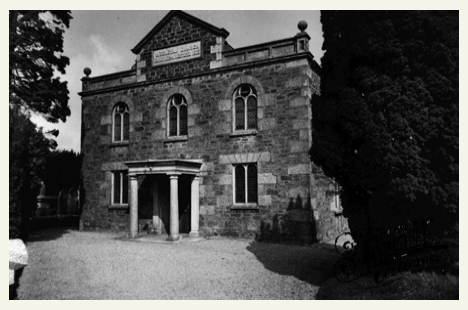
Methodist Church 1955
Edgecumbe Terrace 1955

1955, Biscovey

No comments:
Post a Comment